Signup for weekly updates on new printable items!
100% Privacy Guaranteed! ![]()
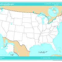
US Map- Unlabeled States and Capitals
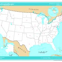
This outline map features state boundaries and unlabeled states and capitals for students to identify. Print this map in a standard 8."x11" landscape format.